A place in the story
Pikworo Slave Camp
A northern heritage site that connects inland routes, captivity and the long journey toward Ghana's southern forts.
Narration available · 2 min
Listen to the story
Pikworo Slave Camp, narrated.
Read transcript
A northern heritage site that connects inland routes, captivity and the long journey toward Ghana's southern forts.
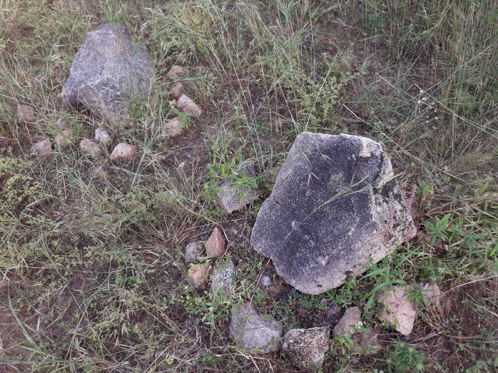
The story does not start at the coast. Pikworo matters because it shifts the map of Atlantic slavery northward. The site is near Paga, far from the coastal castles most visitors know, and its memory is connected to people held and moved through northern routes. The landscape makes one fact harder to ignore: the history of enslavement was built across inland communities, markets and roads before it reached the sea.
A place of memory, not a complete record. Surviving stones and oral accounts can point toward systems of confinement and movement, but no single site can reconstruct every person's journey. Responsible interpretation separates what is documented from what is remembered and avoids turning suffering into a neat itinerary. Pikworo belongs beside the wider history of warfare, trade, coercion and resistance. The site becomes more honest when it leaves room for lives that the surviving record cannot fully name.
Why the northern route matters. Use a local guide and allow time for the heat, distance and emotional weight of the visit. Pikworo can be paired with Paga Crocodile Pond, but the two places should not be collapsed into one tourism package. Together they show the north as a region with its own history, not simply a road toward southern attractions. The visit should leave a question behind: how much of Ghana's history remains unseen when the coast is treated as the whole story? Read this place alongside the people who maintain it. A landmark becomes useful when it changes what you notice next: the road into a town, the work around a museum, the river beyond a view, or the memory a guide chooses to explain.
Pikworo widens the geography of remembrance and places northern Ghana inside the history of Atlantic enslavement.
The story does not start at the coast
Pikworo matters because it shifts the map of Atlantic slavery northward. The site is near Paga, far from the coastal castles most visitors know, and its memory is connected to people held and moved through northern routes. The landscape makes one fact harder to ignore: the history of enslavement was built across inland communities, markets and roads before it reached the sea.
A place of memory, not a complete record
Surviving stones and oral accounts can point toward systems of confinement and movement, but no single site can reconstruct every person's journey. Responsible interpretation separates what is documented from what is remembered and avoids turning suffering into a neat itinerary. Pikworo belongs beside the wider history of warfare, trade, coercion and resistance. The site becomes more honest when it leaves room for lives that the surviving record cannot fully name.
Why the northern route matters
Use a local guide and allow time for the heat, distance and emotional weight of the visit. Pikworo can be paired with Paga Crocodile Pond, but the two places should not be collapsed into one tourism package. Together they show the north as a region with its own history, not simply a road toward southern attractions. The visit should leave a question behind: how much of Ghana's history remains unseen when the coast is treated as the whole story? Read this place alongside the people who maintain it. A landmark becomes useful when it changes what you notice next: the road into a town, the work around a museum, the river beyond a view, or the memory a guide chooses to explain.
Why this place matters
Pikworo widens the geography of remembrance and places northern Ghana inside the history of Atlantic enslavement.
Visiting with care: Visit with a guide, carry water and use careful language that distinguishes documented history from oral tradition.
Where this is today
Pikworo Slave Camp
Upper East Region · Exact surviving site
Open modern mapSources
Read the references behind this story.
Image credit: Shahadusadik via Wikimedia Commons · Image source
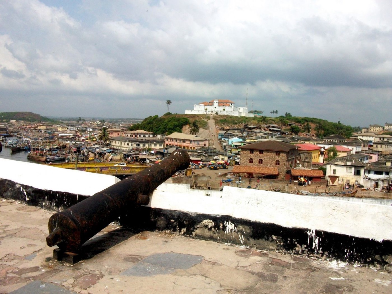 Continue to Fort St JagoFort St JagoA fort above Elmina that reveals the harbour, castle and military geography behind the famous coastal view.